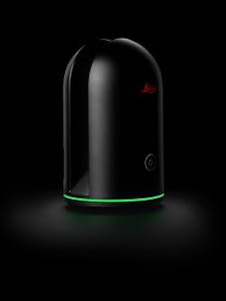
3D imaging laser scanner from Leica Geosystems can take a 360,000 points/s scan
The BLK360 3D imaging laser scanner captures 360° HDR spherical imagery and takes a 360,000 points/s laser scan. It features ±4 mm accuracy at 10 m and an overall 0.6–60 m range. Photos and scans are completed and ready to view within three minutes in the Autodesk ReCap Pro for mobile application.
Leica Geosystems
Heerbrugg, Switzerland
http://leica-geosystems.com
